|
Categories
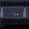
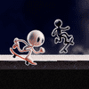
Action
Adventure
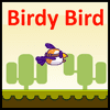
Arcade
Board Game
Dress-Up
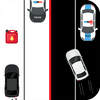
Driving
Jigsaw
Multiplayer
Other
Puzzles
Shooting
Sports
Strategy
Loading games...
No more games...